
Trace a Hot Springs Street
A useful Hot Springs by-address search separates ownership, location, and occupancy. The Garland County assessment card identifies the parcel and current taxpayer. The map puts that parcel in physical order with nearby lots. Deeds then show transfers tied to the legal land description. Voter and historical directory evidence can support who used an address at a stated time, but neither should be treated as a complete household list.
Work from the parcel outward. Keep the spelling first supplied by the source, along with its date. This matters on a corner lot, where the assessor may use only one street face, and on long roads that cross the Hot Springs city boundary.
- Enter the address in the Garland County assessor search and save the parcel number, situs address, owner spelling, mailing address, and legal description.
- Open the parcel map. Click the target polygon, then pan along the road to preserve the true physical order of the lots.
- Use the owner and legal description in the recorder index. Confirm that each deed refers to the same lot, block, subdivision, or metes-and-bounds tract.
- Check the tax account and city permit or code file for dated evidence linked to that address.
- For an older occupant, consult a reverse street section or directory volume and record the survey year.
Search Hot Springs Parcel Fields
The actDataScout Garland real-property search is the practical start for Hot Springs address research. Its basic modes accept an owner, parcel number, or property address. An exact address miss is not the end. Try the street without its suffix, remove punctuation, or search the street name alone. Preserve the original form before relaxing it.
| Search control | Input | Required | Useful detail |
|---|---|---|---|
| Search by | Mode or tab | One mode | Owner, parcel number, or property address |
| Owner | Text | No | Try surname, organization, and spelling variants |
| Parcel number | Text | No | Uses the county parcel identifier |
| Address | Address parts | No | Try house number and street, then omit the suffix |
| Map | Interactive | No | Zoom, pan, click, and inspect adjoining parcels |
The result can include a parcel number, situs and mailing addresses, legal description, land and improvement values, class, acreage, transfer references, and building facts. Those fields describe a tax parcel. They do not name every person who uses the address.
Hot Springs Street Record Layers
No single Garland County roll serves as a full by-street list. The best address search combines records that were made for separate public tasks. Each layer also has a fallback channel when a web tool does not return the needed detail.
| Address source | Local keeper | Evidence supplied | Access route |
|---|---|---|---|
| Assessment card | Garland County Assessor | Owner, parcel, situs, mailing address, legal description | actDataScout or assessor counter |
| Parcel map | Assessor and GIS | Boundaries, adjacent parcel IDs, spatial order | Hosted map or mapping staff |
| Recorded instrument | Circuit Clerk as recorder | Parties, dates, instrument, land description | PublicSearch, image, or courthouse books |
| Tax account | Garland County Collector | Tax status and receipts by parcel | Arkansas Tax Search |
| Permit or code file | City Planning and Neighborhood Services | Applicant, address, project or case chronology | Forms, direct request, or city FOIA route |
| Historic street entry | Garland County Historical Society | Dated occupant or subscriber clue | Directory and telephone-book collections |
A parcel number links the map to the assessment card. The legal description links that card to deeds and plats. Street spelling and number link the property trail to city records and directory volumes. Preserve all three identifiers because one can succeed when another fails.
The Garland property-tax search supplies the tax-account side of that chain.

The captured search page shows the official tax route that complements, rather than replaces, the assessor parcel record.
Read Hot Springs Address Terms
Three labels prevent common errors in Hot Springs address records. A street number can change while the legal land identity stays stable. Likewise, the address used for a tax bill may be far from the land itself.
- Parcel
- A mapped unit of land assigned a county identifier for assessment and record linkage.
- Situs address
- The physical address assigned to the parcel, distinct from the place where its tax mail is sent.
- Plat
- A recorded drawing that defines lots, blocks, streets, dedications, and subdivision layout.
- Criss-cross directory
- A directory arranged by street or address so a reader can move from place to listed occupant.
A matching situs and mailing address can support an owner-occupancy theory. It still does not prove who was present on the search date. A different mailing address may belong to a trustee, business, or manager and does not establish why the addresses differ.
Hot Springs Deeds Beyond Addresses
The Garland Official Record Search works from indexed parties and land clues. The deed chain is not reliably keyed to a modern street address. Begin with the owner spelling and legal description from the parcel card, then check that the document image actually covers the same property.
Quick and advanced modes offer a department selector, search term, recorded-date range, preset date buttons, and a choice between index-only and full-text OCR. OCR means optical character recognition, a machine reading of the document image. Phrase search can expose a hotel, subdivision, or address omitted from the structured index. Historic type can be misread, so the image remains essential. Index searches also treat entered words separately, making grantor and grantee searches a stronger first pass.
Expected results include the indexed party, document type, recorded date, instrument number, book and page when supplied, land-description text, and an image or OCR link when available. A mortgage secures a debt; it is not a transfer. A release clears an encumbrance. A quitclaim passes whatever interest exists and is not proof of a standard sale.
Note: The public landing page does not state the first online year or image fees, so call the Circuit Clerk for older books and costs.
Hot Springs Street Form Trail
Hot Springs Planning and Development publishes forms tied closely to street identity. The city applications collection includes New Address and New Street Name requests along with subdivision, lot split, zoning, historic-district, fence, and development forms. An application may identify an owner, applicant, parcel, project address, and filing date. Treat each named person according to that stated role.
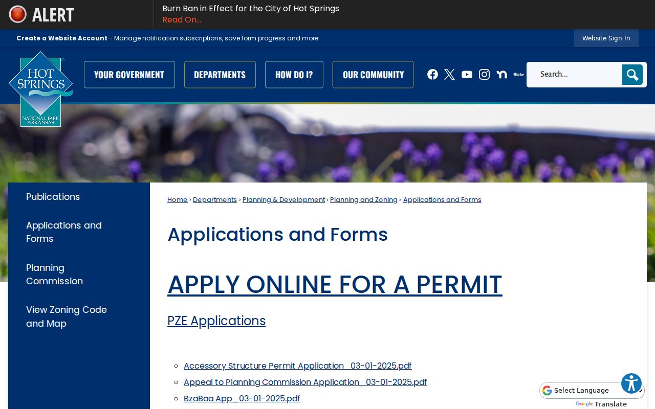
The form hub preserves the official route for address and street-name changes, which can explain why a later record uses a different label.
The Planning and Development office handles zoning, subdivisions, signs, historic districts, and building-safety work from City Hall. Its public page lists weekday hours and department contacts.

This city source is the direct channel for a municipal parcel, while county staff remain the source for county assessment and recorded instruments.
Hot Springs Street Case Chronology
Address-based city evidence also comes from Neighborhood Services. The office investigates vacant structures, unsafe conditions, debris, overgrown lots, abandoned vehicles, and graffiti. Notices, inspections, citations, and condemnation actions can form a dated property chronology, but a complainant, contractor, or contact should not be recast as a resident.
The Hot Springs Neighborhood Services page identifies the office and its public contact route.
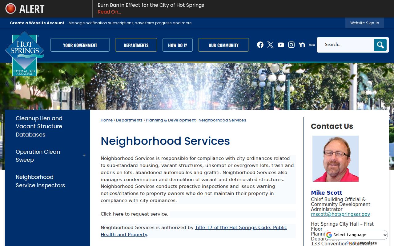
The office page helps route an exact-address request with a date range. Exempt or private details can be redacted from the response.
Reverse an Old Hot Springs Street
For past address use, the Garland County Historical Society holds Hot Springs city directories from 1887 forward and telephone directories from 1903 forward. Later volumes may contain reverse street sections. Alphabetical sections move from person to address; reverse sections move from address to listed occupant. The full collection history belongs on the Hot Springs city directories page.
Do not assume that an early street number equals its modern counterpart. No official source reviewed fixed a comprehensive Hot Springs renumbering year. Compare the directory street index, nearest crossings, subdivision plat, legal description, and surviving Sanborn sheets. Documented Sanborn years include 1890, 1896, 1901, 1908, 1915, 1925, and 1945. The map proves footprint and use, not occupant identity.
Hot Springs National Park can also appear as a postal city label. Keep that form in the notes while separately determining whether the parcel lies inside municipal limits. On the west and south sides, a Hot Springs mailing label can describe county land outside the city.
Request Missing Hot Springs Records
An empty web result is not proof that no record exists. The county portal may lack an older book or an index can miss alternate spelling. Start with the responsible office. The assessor handles parcel facts, the collector handles tax accounts, the Circuit Clerk handles recorded instruments, and city departments handle municipal permits and code files.
The Garland County request-routing page distinguishes those responsibilities and points county-office requests to the proper place.
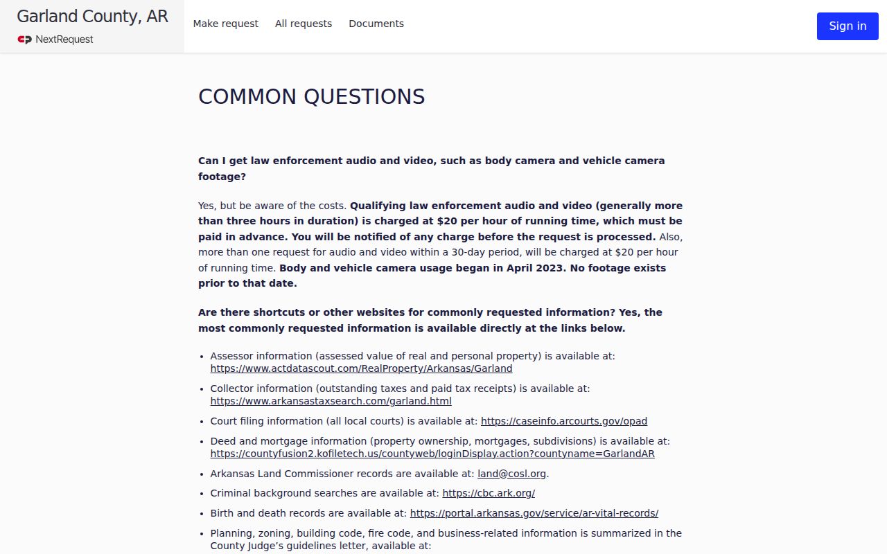
The routing guidance helps avoid sending an assessor or court question to the county FOIA coordinator. For a valid request, supply the exact address, parcel or legal description, record type, date span, and desired format. Arkansas FOIA presumes nonexempt public records open and limits reproduction charges to actual cost plus mailing. Records in active use or storage may require up to three business days.
Hot Springs Street Voter Evidence
Arkansas VoterView is an individual confirmation tool, not a way to browse every person on a Hot Springs street. It asks for first name, last name, date of birth, and county, then can return registration status, polling place, precinct or district, and election information. A nonmatch can reflect spelling, a recent move, inactive status, or no registration. It does not prove that a person is absent from the address.
The broader street-level channel is a written voter-data request to the Arkansas Secretary of State. The request form distinguishes registration, vote-history, and combined files and uses a Dropbox transfer choice. Protected fields and Address Confidentiality Program records stay shielded. Vote history shows participation, never ballot choices. Historical street research should instead ask the Garland County Historical Society or Arkansas State Archives about voter lists and poll books, including local 1892 voter evidence used to bridge the lost 1890 census.
Hot Springs Street Directory Limits
A Hot Springs street directory cannot produce a complete, live roster for each door. The assessment roll identifies ownership and mailing facts. Voter records concern registration and omit protected data. A directory entry belongs to a survey year. Utility customer data and motor-vehicle address data are restricted, and participants in Arkansas's Address Confidentiality Program use substitute addresses in relevant public systems.
Vacant parcels, condominiums, and manufactured homes need special care. Vacant land has an owner but no household. A condominium can have unit parcels plus shared parcels. A manufactured home may appear in separate personal-property and real-property records. Ask the assessor which account type applies before treating a missing result as meaningful.
Lawful use. Use Hot Springs address records for lawful personal research, property history, and civic understanding. Never use them to stalk, harass, threaten, or expose a protected person.
Good street research preserves roles and dates. Record whether a name belongs to an owner, voter, applicant, indexed party, subscriber, or mailing contact. That discipline keeps the street-by-street trail useful without turning incomplete public clues into claims about a private person.