
Reading Hot Springs ZIP Coverage
Five ZIP codes are closely associated with Hot Springs in official postal research, but they do not all describe a residential area in the same way. The main street-delivery geographies are 71901 and 71913. The other three require a current USPS check because they are tied to post-office boxes or special postal routing. This distinction prevents a box ZIP from being mistaken for a neighborhood.
| ZIP | Local Reach | Mailing Identity | Research Caution |
|---|---|---|---|
| 71901 | Central, eastern, and northern Hot Springs | Hot Springs National Park | May reach beyond the exact city boundary |
| 71902 | Box or special postal use | Hot Springs National Park | Verify delivery type before mapping |
| 71903 | Box or special postal use | Hot Springs National Park | Not a normal neighborhood polygon |
| 71913 | West and southwest toward Lake Hamilton | Hot Springs | Broad delivery area crosses city-limit assumptions |
| 71914 | Box or special postal use | Hot Springs postal routing | Confirm current use with USPS |
The Hot Springs postal directory must also exclude nearby look-alikes. Codes 71909 and 71910 identify Hot Springs Village, a separate census-designated place extending into Garland and Saline counties. Mountain Pine and other Garland County communities have their own postal identities. Shared words in a mailing name do not route a deed, permit, or court inquiry to the right office.
Note: Postal names describe mail delivery, while parcel, municipal, voting, school, fire, and utility boundaries each answer different questions.
Hot Springs National Park ZIP
The words “Hot Springs National Park” in a mailing line create a local geography trap. They can be the preferred postal name for an ordinary address. They do not prove that a parcel is federally owned, lies within the park boundary, or receives City of Hot Springs services. For 71901 research, preserve that mailing form while checking the parcel separately.
Central and older Hot Springs addresses often offer the richest overlap among parcel cards, city directories, historic maps, and city files. Yet even a central-looking address needs a current jurisdiction check. A postal result answers how mail is routed. The Garland County assessor identifies the parcel and situs, meaning the physical property address. City planning then determines whether municipal rules and files apply.
Postal label myth. “Hot Springs National Park” can be an ordinary mailing name. It is not proof of federal ownership or park location.
Search Hot Springs by ZIP
A ZIP-wide resident search has no single free local portal. The hosted assessor may show a ZIP on a property card, but its basic, reliable search starts with an address, owner, or parcel number. VoterView is gated by a known person’s name and date of birth. It cannot browse everyone in a ZIP. A statewide voter file may be filtered by residence ZIP after lawful acquisition and review of its data dictionary and protected fields.
- Verify the full deliverable address and mailing ZIP with the official USPS lookup.
- Search the Garland County assessor by property address, then record the parcel number, situs, mailing address, and displayed ZIP.
- Check the parcel map or city planning source to determine whether the site is inside Hot Springs city limits.
- Choose the record custodian from the verified geography. Use a lawful public-data request when no free ZIP filter exists.
- Narrow the result to an exact address before drawing any conclusion about a person or household.
Once research narrows a code to an actual road, the Hot Springs directory by street provides the address-level method. It keeps this postal guide focused on ZIP scope while the street workflow handles individual parcels.
The USPS ZIP Code Lookup is the authoritative starting screen for address and city checks.
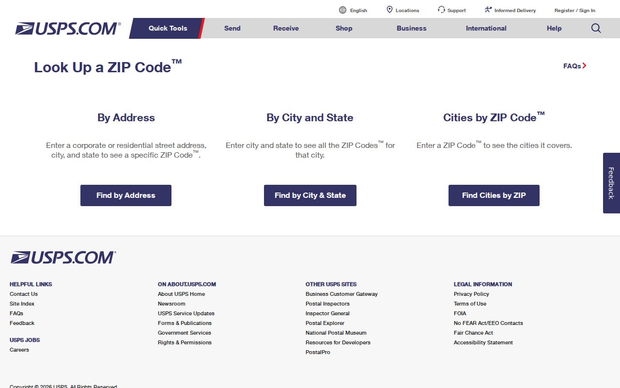
That source verifies postal routing first, leaving parcel ownership and government jurisdiction to the local custodians that maintain those facts.
Hot Springs Postal Search Fields
USPS offers three useful routes. “By Address” accepts a street address, city, and state. “By City and State” returns ZIP codes associated with a place name. “Cities by ZIP” reverses the question and shows accepted mailing names. The first route is strongest because it begins with a deliverable address rather than a broad city label.
| Lookup Mode | Input | Best Local Use |
|---|---|---|
| By Address | Street, city, state | Confirm the exact code and mailing name |
| By City and State | City and Arkansas | Identify codes tied to Hot Springs |
| Cities by ZIP | Five-digit code | Check Hot Springs versus Hot Springs National Park |
The Arkansas GIS Office also publishes licensed ZIP+4-derived geography. That data can assist mapping, but it remains postal data. It must not substitute for city-limit, parcel, plat, or service-district evidence. A careful directory labels each layer for what it is.
Hot Springs ZIP and City Limits
ZIP 71913 illustrates the mismatch well. Its west and southwest delivery area reaches toward Lake Hamilton and across a broad part of Garland County. A person can accurately use “Hot Springs” as a mailing city while the parcel receives county rather than city services. City permits, neighborhood cases, and municipal files should not be requested until that jurisdiction is checked.
- ZIP code
- A USPS routing code. It is not a municipal boundary.
- ZIP+4
- A more precise postal code for a delivery segment or group of addresses.
- PO-box ZIP
- A code used for post-office boxes rather than a normal street-delivery area.
- Carrier route
- A mail-delivery path that may cross other government boundaries.
- Situs address
- The physical parcel address used by the assessor, distinct from the owner’s mailing address.
A sound jurisdiction check moves from USPS to the Garland assessor, then to city planning, the recorder, and any service district relevant to the question. Parcel numbers identify assessor accounts. Legal descriptions preserve land identity in deeds. Neither should be inferred from ZIP alone.
The Hot Springs Online services page shows the municipal route for records and online services after city jurisdiction is confirmed.
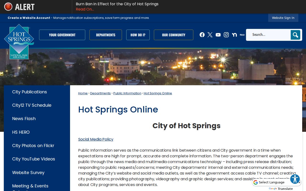
The city source belongs after the postal and parcel checks because a Hot Springs mailing address can still fall outside the municipal service area.
Hot Springs Special-Use ZIPs
Codes 71902, 71903, and 71914 should be treated as routing or box indicators until the current USPS result confirms delivery type. They do not describe ordinary neighborhood polygons like a standard street-delivery ZIP. Assigning street parcels to one of these codes without verification would create a false resident grouping.
This is also why a postal directory should not turn a city-to-ZIP list into a household list. Postal tools confirm routes. Parcel cards associate owners with land. Voter files contain registration fields under Arkansas rules. Each source has a different scope, date, and access limit. Combining them requires an exact address and a clear record purpose.
A mailing code can still help organize known addresses. Group only verified street records, document the USPS lookup date, and mark special-use codes apart from street-delivery areas. If a result changes, retain the older source date instead of silently overwriting it. That small audit trail matters in Hot Springs, where a preferred mailing name and a government boundary can tell different but accurate stories.
Note: A box code can identify where mail is collected, but it does not establish where the recipient’s home or parcel is located.
Historic Hot Springs Address Crosswalk
Modern ZIP codes cannot be projected onto early Hot Springs residents. The national ZIP system began in 1963. Older city directories use streets, wards, precincts, townships, subdivisions, postal zones, or no postal zone at all. Annexation also changed which government held permits and service records while a postal name could remain unchanged.
Build a historical crosswalk with the source year, printed address, street name, nearest intersection, Sanborn map sheet, legal description, and possible modern parcel. Compare building footprints and adjacent lots. Directory canvass dates may precede the printed year, so an apparent one-year move may reflect survey timing rather than a move. New subdivisions are anchored by plat dates, not a modern ZIP boundary.
Hot Springs requires three separate timelines: postal routing, municipal annexation, and property subdivision. Central addresses may overlap with surviving Sanborn maps and long directory runs. Western growth toward Lake Hamilton often depends more on later subdivision plats. Keeping those tracks separate preserves what each record actually proves.
Request Hot Springs ZIP Records
When a portal offers no ZIP filter, do not assume the data does not exist. Ask the proper custodian whether a lawful extract can be produced with the requested fields and geography. Arkansas Freedom of Information Act requests should identify records, not ask an agency to answer a research question. The Act is codified at Ark. Code Ann. §§25-19-101–111 in state law.
For readily available nonexempt records, access may be immediate. If records are in active use or storage, the custodian generally certifies that fact and sets a time within three working days. Reproduction charges are limited to actual cost plus mailing, while special electronic manipulation may support personnel charges. Requesting an electronic native format may reduce cost.
The Arkansas Attorney General FOIA overview supplies the official procedural reference.
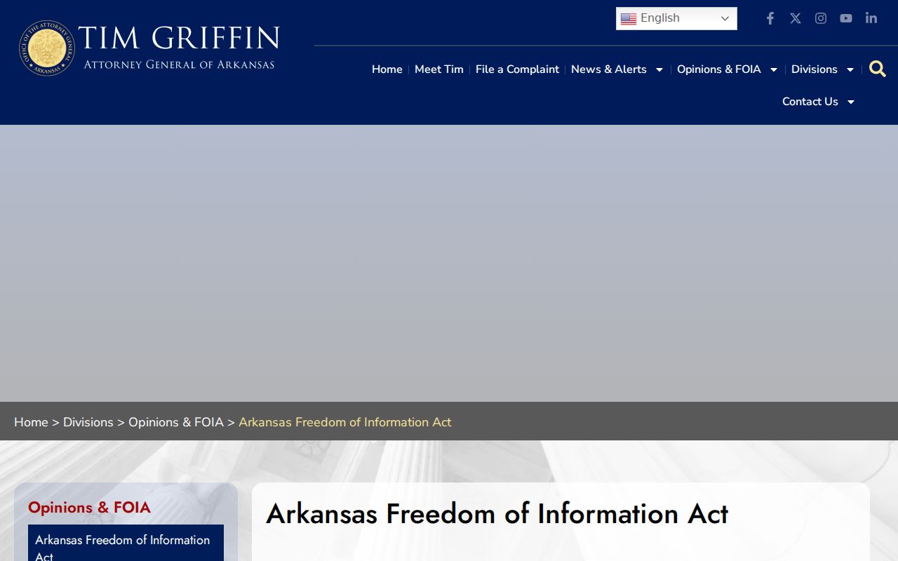
The official guidance supports the fallback route when USPS, the assessor, VoterView, or city services cannot provide a public ZIP-wide result.